This is part of the Urban Space Analysis course with objectives such as defining an urban project, planning macro level, the relation between human and environment, appearance and combination and skeleton of cities. However, each group chose a small scale of city to work on and we selected Enghelab Ave in the center of Tehran. The process was visiting the location, taking photos, drawing sketches and modeling the Ave with AutoCAD which were done in group. at the end we built the physical model with laser cut Plexiglas. Meanwhile, each person took an individual responsibility to do analyses and I studied about facade issues and re-designing as well as accessibilities and providing solutions.
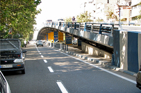
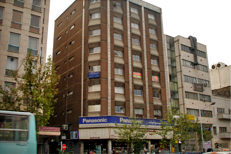
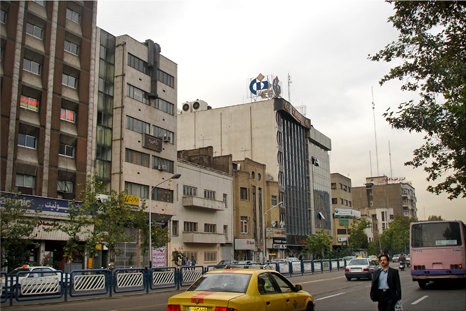
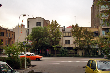
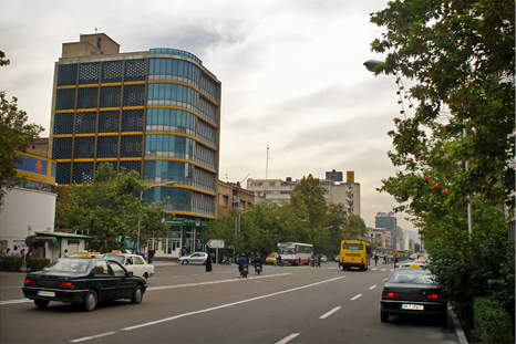
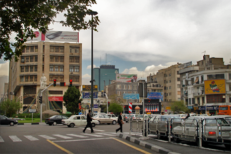
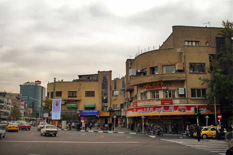
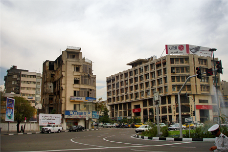
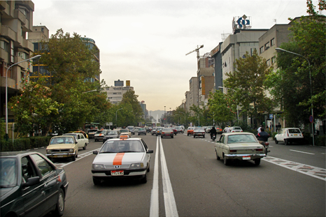
Enghelab street photos
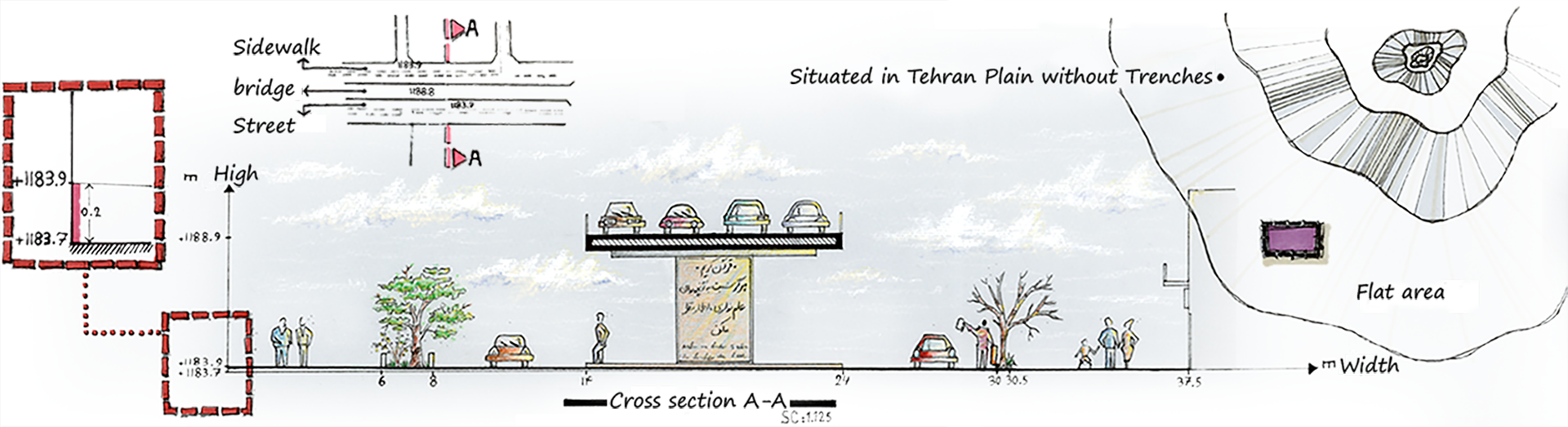
Roads analysis hand sketches

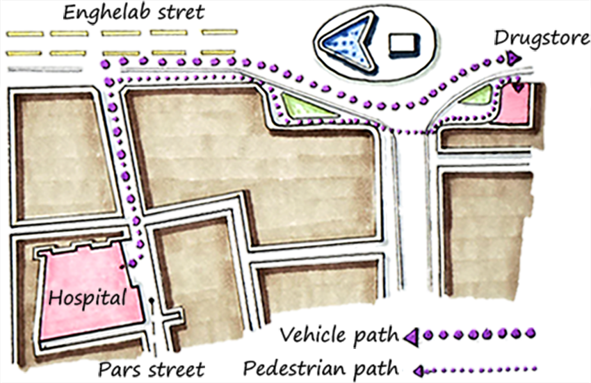
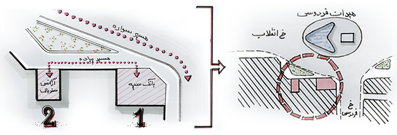
Site Plan AutoCad drawing

Top: North facades of Enghelab street
Down: South facades of Enghelab street
Down: South facades of Enghelab street
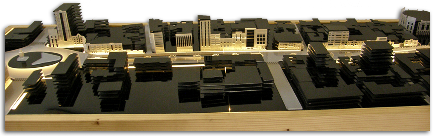
Physical model
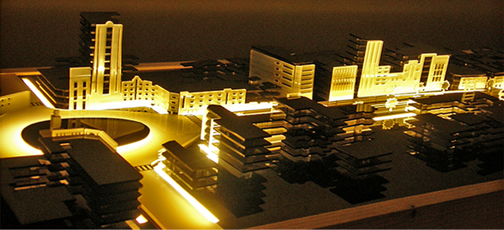
Physical model with lights installed in the base
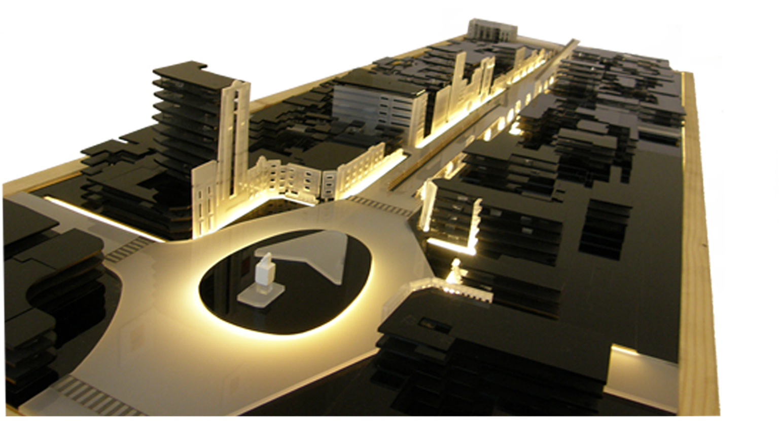
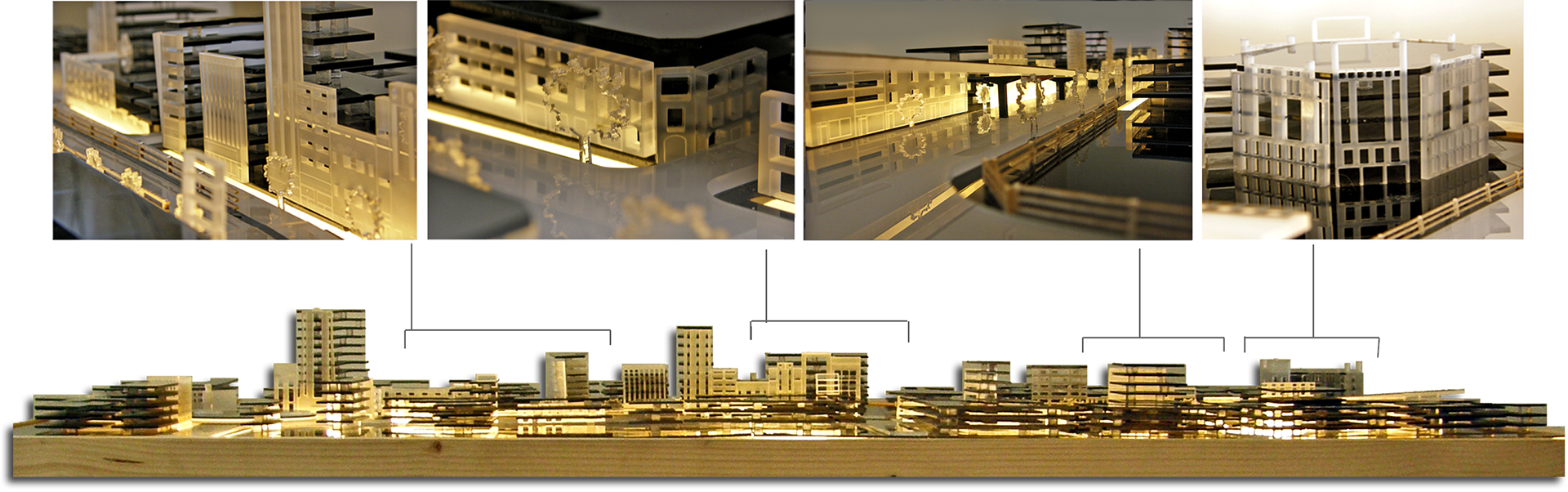
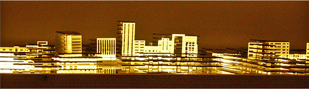
Physical model view and detailed photos
Credits
B.Sc. Architectural engineering, Urban Space Analysis course, IAU South Tehran Branch | Fall 2006
Title: Residential Complex
Location: Tehran, Iran
Supervisor: Dr. Mohajeri
Drawings, Visuals and Mock-up: Group project
Location: Tehran, Iran
Supervisor: Dr. Mohajeri
Drawings, Visuals and Mock-up: Group project
Please don't use images without permission.